
New Year's Eve to Whiskeytown Falls
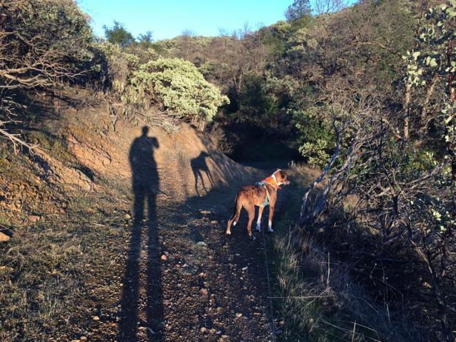
For those of us who run and hike with dogs, most National Parks and Rec areas have some pretty negative vibes about our four-legged pals. But just outside of Redding in the Whiskeytown Recreation Area, Murphy and I found a different story.
Many of the trails, it seems, are open to dogs... and as long as I do my part (pick up, keep him under control and out of the wild), I'm sure we're gonna get some great workouts here.
We went on a late afternoon to the Whiskeytwon Falls hike. For starters, rememberyoure not gonna have much in the way of cell service so Maps on my phone didn't get me anywhere. I also noticed some keys lacking for directions on a couple of my trail apps beforehand, so even if you download, might not be a bad idea to check in at the Rangers station heading in. From Redding, just as you come in to the park there's a welcome center and such which will save you some time, allow for maps, etc. And since some of the trails are periodically closed for weather in the winter, it's a good idea to know before you go.

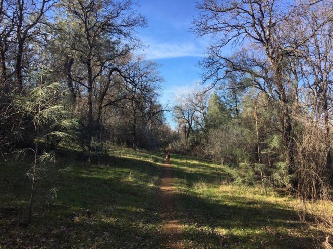
We drove 8 miles from the Visitor Center heading west on 299, almost all the way out of the park, and turned down Crystal Creek Road. It's paved, no problem for cars, but watch out for rock slides on this as it's a bit narrower. A couple miles up and past the Mill Creek Trail you'll find an obvious parking lot and trailhead for the James K. Carr Trail to Whiskeytown Falls. There's a bathroom but no water, so pack all that in. We went in winter and on a short hike, no issue with what we had.
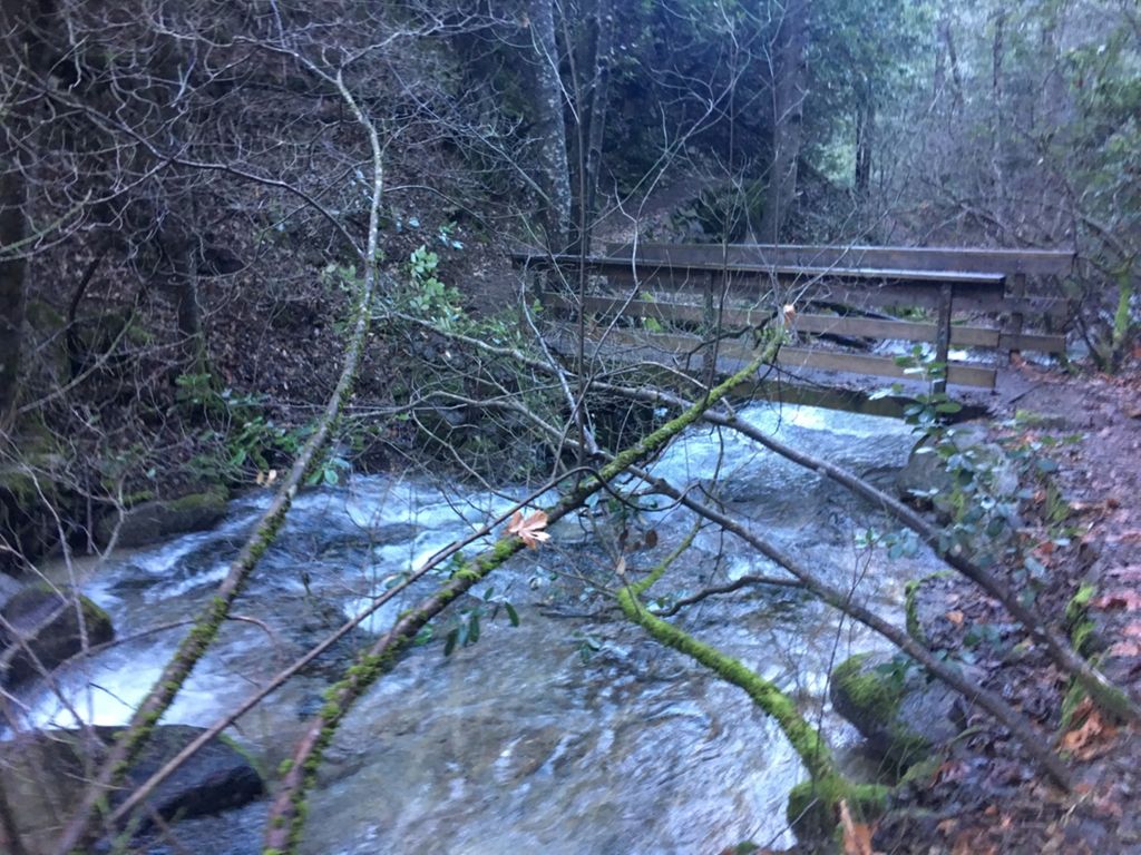
As I said, short but sweet. With intermittent elevations and mostly wide tracks, this could be a great training run/hike. And once we started running along the creek and the falls, Murphy's DNA went haywire. He loves water - even coming off snow melt in mid-winter, and can't help but find a pool or two to dip in. Crazy, as it got chilly in the late afternoon for me. Watch for the rapid areas, Murph! I wouldn't want to have to chase him floating downstream!
The trails were safe, if not slippery on some of the bridges, where I hit a little ice. Be aware. Normal trail rocks and such, so be careful not to zone out too hard. I truned an ankle once, and of course my heel took a beating, but not too bad. It gets single track the closer you get to the falls, but nothing dangerous. The map says 3.4 miles out and back, so the last .2 must be the stairs because we clocked in at 3 miles. Which means you can get in and out and back again if you want in no time.
The falls are very cool. (There are several different falls to hike to in the park.) We didn't do the stairwell on the left and it was closed very low any way because of ice, I'm guessing. There are a couple of ledges called Photographer's Ledge and Artist's Ledge. I'll save those views for the spring, I guess. But it's really cool to enjoy the base of the falls and learn a little of the history.
Known mainly to loggers when under private ownership, Park rangers learned about the falls in 1967, but kept it as secret as they could. It wasn't until 2004 that they were "rediscoverd" from aerial view, and the secret was out!
Please login to save your comment