
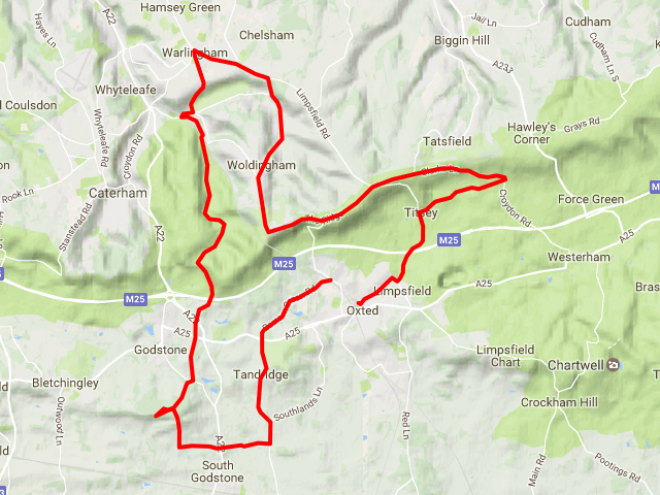
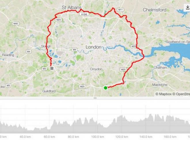
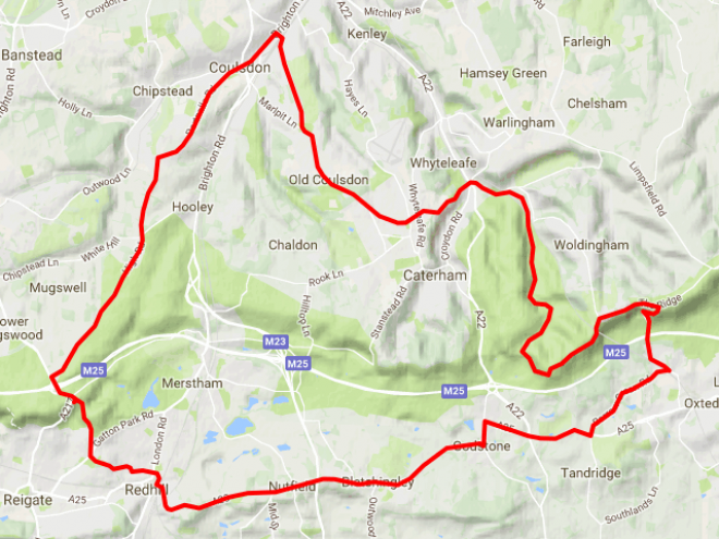
Oxted Riverhead Ide Hill Loop
![]()
My first training ride of 2017 and a challenge due to general low fitness and a lingering cold. The roads were wet, and it wasn't supposed to rain but it did. Lightly but for about 15 minutes.
I stopped at my highest point (Stubbs Wood, near Ide Hill) to take a photo, and at Rectory Lane on Pilgrims Way for a traditional photo.


Otherwise I pressed on, focusing on keeping a good cadence going.
The route is familiar so I was able to see how I was losing about 5 minutes every 30 minutes, compared to my usual speed. The weather was cool, and the wind was from the West, so I felt it on the return. I decended all hills slowly due to the wet conditions.
Type:
Ride
Workout_type:
default
Date:
2017-01-08T12:28:37Z
Avg Pace:
3:13/km
Elevation:
486
Distance:
41028.3
Moving time:
7898
Activity id:
825345070
Strava title:
Oxted Riverhead Ide Hill Loop
Total photo count:
2
Title:
Oxted Riverhead Ide Hill Loop
Summary Polyline:
ytzwH~WHgWvHeAIcFcGiRgRs^lCaIc@wAeIiHuLwAyIsGiE}F{DiOyC_EqQEsPrGaCgPyHyOsDo_@mFgKkDq_@t@_LaMoaArAgIbCiw@aCgJg@mQmE{]ZgImEi{AeNmx@cWqm@_CuLeL}VkRyn@~`@_YfUwDkDqUUag@cWmr@fTi_@v_@}c@_BsNfC_J\at@`TmDfSnSvZxMfHvI|SlLrQtY~OhP~[jJjIpJ|WZt_@zZ~Khg@e@bEmI~H`BdPuOnJ}LzGwThFcf@vDsOqM}^uKmv@aGqKvDcz@wY_ArE`At\|CvY_WnE{^`XrQtm@di@huAtMvv@zDfgBnJby@uBpv@}AzJ~LjaAy@xLdDt]hGzNjCt[jIjQbC|OpPyGpRXbI~T~HjJtI~E~HVlG|EtAtCoClI`S``@fGhXbExFW~A
Description:
It wasn't supposed to rain
Average speed:
5.195
Language:
English
Cover image:
/sites/default/themes/storyteller/img/api_logo_pwrdBy_strava_horiz_gray.png

Please login to save your comment